Stratus Clouds - What They Are and How They Form

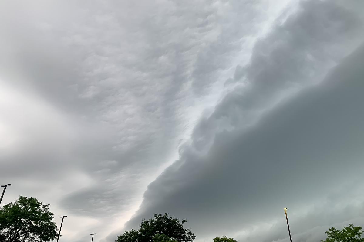
With their ethereal forms, clouds paint the sky with their ethereal forms, each one playing a distinctive role in the atmospheric narrative. At low altitudes, stratus clouds dominate the sky, their flat, layered canvases adorning the sky. As their Latin namesake implies, they spread across vast expanses, casting a somber gray hue upon the landscape.
In the following article by thedailyECO, we will explain what stratus clouds are, their main characteristics, their formation, and how they differ to other types of clouds.
What are stratus clouds?
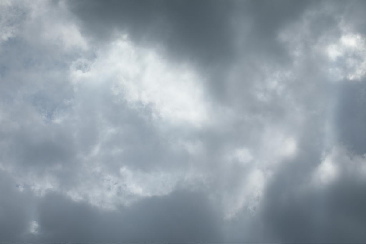
Stratus clouds are known for their uniform and extended layer appearance. These clouds typically form at low altitudes, covering the sky like a blanket. They are associated with precipitation and can give rise to fog, mist, or drizzle when situated at lower levels. Stratus clouds primarily consist of water droplets, with the possibility of ice crystals in colder conditions or at higher altitudes.
Are stratus clouds the same as fog?
Stratus clouds and fog are very similar in appearance, but they have a key difference in their location.
Stratus clouds are low-level clouds that form when cool, moist air rises and condenses. They are typically gray or white and have a uniform, hazy appearance.
Fog, on the other hand, is a stratus cloud that has descended to ground level. Fog forms when the air cools to its dew point and water vapor condenses into tiny water droplets that hang in the air. Furthermore, fog can be very dense and can reduce visibility to near zero.

Characteristics of stratus clouds
Stratus clouds possess distinct characteristics that set them apart from other cloud types. Key features include:
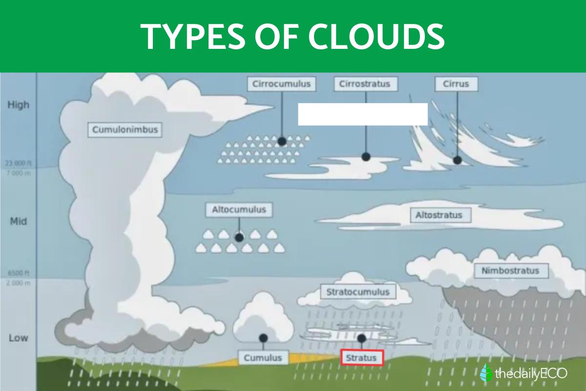
- Altitude: forming at relatively low altitudes, typically below 2,000 meters (6,500 feet), though they can extend higher. This low altitude contributes to their extended and horizontal appearance.
- Shape and appearance: stratus clouds exhibit a flat and uniform look, covering extensive portions of the sky. They often present as a continuous layer with diffuse edges, allowing sunlight to filter through while creating overcast skies.
- Color: usually gray or white, dependent on sunlight penetration and the amount of water or ice present.
- Composition: primarily composed of water droplets, occasionally featuring ice crystals, especially at colder altitudes.
- Variable thickness: the thickness of the stratus cloud layer can vary, ranging from thin clouds that permit sunlight visibility to denser layers that entirely block the sun.
- Precipitation: while not always precipitating, stratus clouds can be associated with drizzle, light rain, or snowfall. The precipitation tends to be continuous but not highly intense.
- Atmospheric stability: Stratus clouds typically form in atmospherically stable conditions, characterized by a smooth and continuous rise of air. Consequently, they are often linked with calm weather conditions.
- Common climates: Common in temperate climates, stratus clouds indicate more stable weather. However, their presence is not exclusive to such climates, and they can form in association with more dynamic weather systems.
Be sure to read this other article where we explain how do cumulonimbus clouds form.

How do stratus clouds form?
Stratus clouds typically form through a gradual ascent of air, fostering the condensation of moisture and the creation of an extensive cloud layer. The formation process is outlined as follows:
- Rising air: stratus clouds emerge as air experiences a gentle ascent. This can result from diverse factors, including ground warming, the convergence of air masses, ascent linked to low-pressure systems, or orographic rise due to terrain topography.
- Air saturation: during the ascent, the air cools. If it contains sufficient moisture and cools adequately, it reaches its dew point—the temperature at which the air becomes saturated with vapor. At this point, moisture condenses into small water droplets or ice crystals.
- Formation of water droplets: stratus clouds exhibit condensation across a relatively broad and uniform layer. Small water droplets form around dust particles or condensation nuclei present in the air. These lightweight droplets remain suspended in the atmosphere.
- Horizontal spread: stratus clouds disperse horizontally, generating a consistent cloud layer in the lower atmosphere.
- Uniform appearance: the stratus cloud layer is typically dense and opaque, resembling a blanket enveloping the sky. Clear boundaries between individual clouds are often absent, contributing to their uniform look.
It's crucial to note that while stratus clouds may coincide with overcast conditions, they don't always result in substantial precipitation. Their thickness and density can vary, and their presence can be associated with both stable and unstable weather systems.
What is the difference between Nimbus and stratus clouds?
Understanding the differences between stratus and nimbus clouds helps us interpret the weather.
Stratus clouds are low and flat, covering the sky like a blanket. As mentioned before, they form when air gently rises, creating a continuous layer of clouds. This process is steady and calm, like a gradual cloud-making mechanism. While stratus clouds can bring a bit of rain or drizzle, they don't always result in significant precipitation.
Now, let's talk about nimbus clouds. The term "nimbus" means these clouds are good at making rain. There are different types, such as nimbostratus or cumulonimbus. These clouds appear dark and heavy, indicating their potential for significant rainfall or storms.
Nimbus clouds are the rainmakers, associated with intense and lasting rain or storms. They play a crucial role in the water cycle, providing substantial precipitation to the Earth's surface.
You might be interested in this other article where we discuss what is the Foehn effect.
If you want to read similar articles to Stratus Clouds - What They Are and How They Form, we recommend you visit our Meteorological phenomena category.


