What Is a River Delta and How Is It Formed?


A river delta is a geographical feature that forms at the mouth of river systems, given its distinctive landform properties thanks to a dynamic sedimentation processes. Deltaic systems give rise to the formation of intricate channels and sandbanks. This creates regions rich in biodiversity, thanks to the continuous transport of sediments of different sizes. The types of deltas that exist include fluvial-dominated, tidal-dominated and wave-dominated, but they can also be characterized by their shape.
To learn more about delta landforms, thedailyECO asks what is a river delta and how is it formed? In addition to explaining delta landform formation, we look at the different types of river deltas that can be found around the world.
What is a river delta?
A river delta is a geographical formation that originates at the mouth of river systems in another body of water such as a sea, semi-enclosed sea or lake. It is a landform is characterized by the gradual accumulation of sediments transported by the river current.
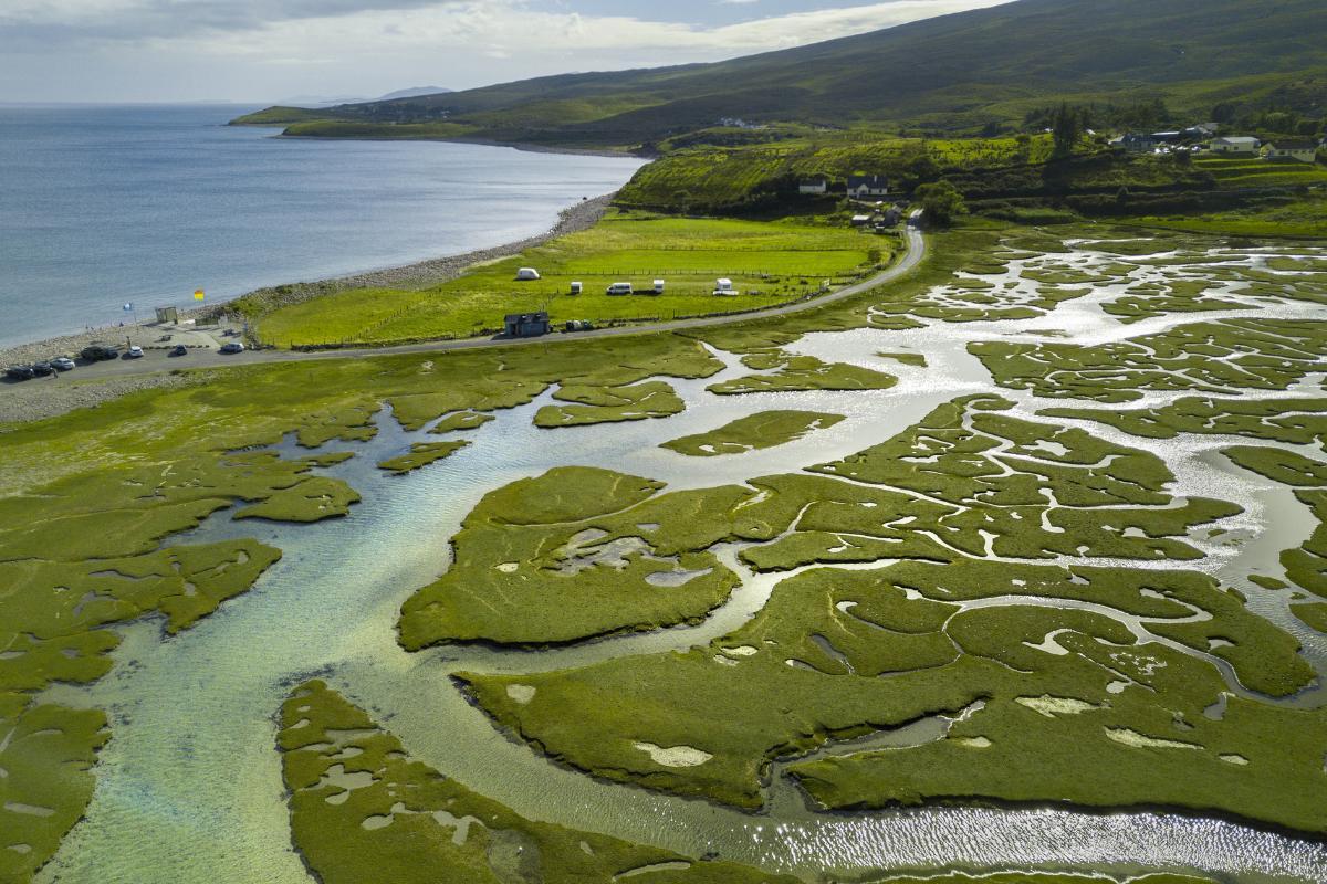
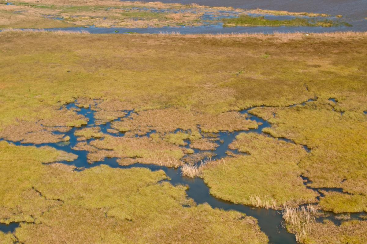
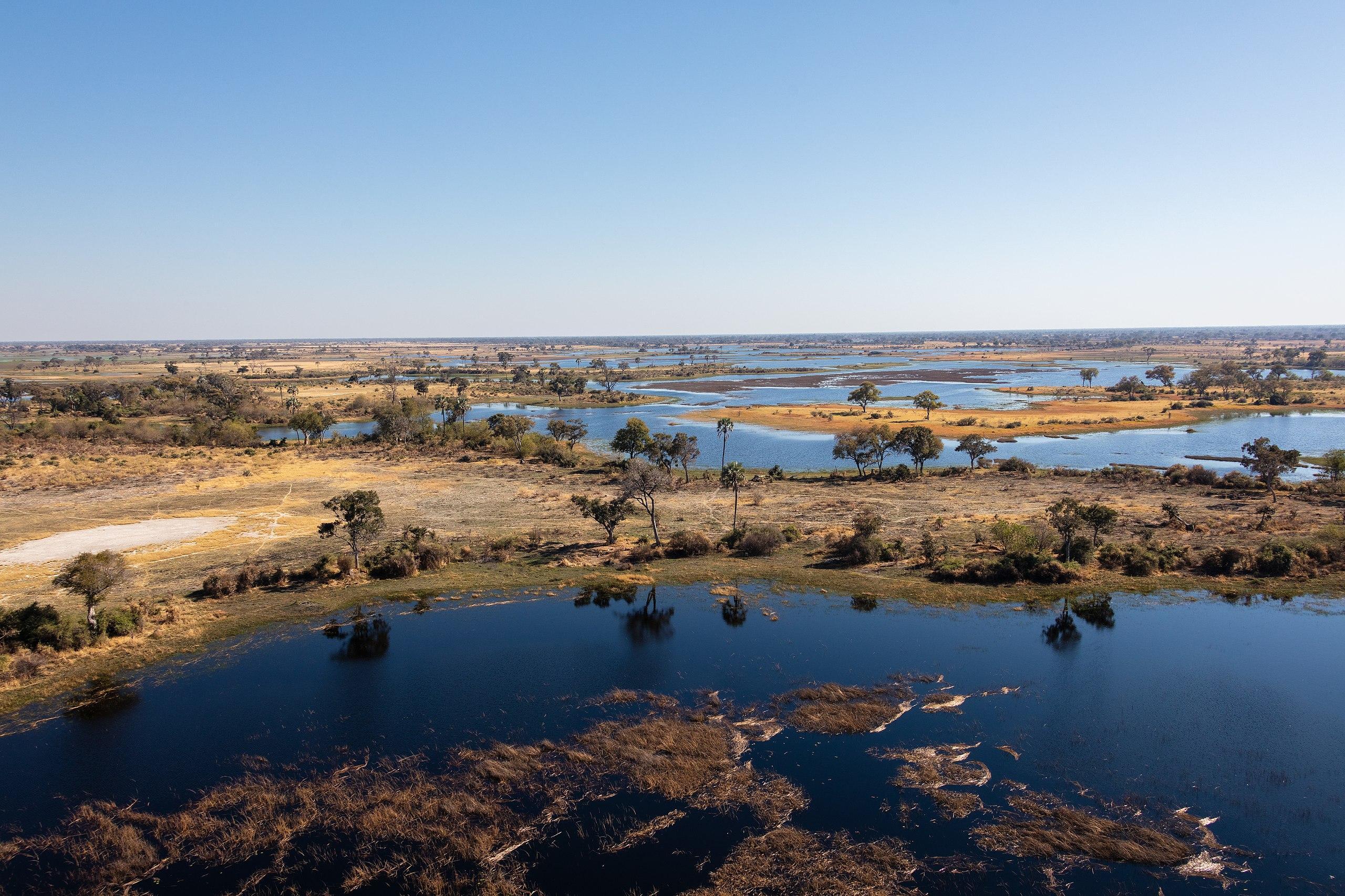
Deltas usually present wide channels with copings formed by sediments, enclosing depressions in which permanent or semi-permanent lagoons are found. These transitional environments offer unique habitats that support great biodiversity. They provide shelter and food for a wide variety of aquatic species and migratory birds.
In addition to providing habitats for various plants and animals, river deltas act as natural buffers for the effects of water flow. They do so by reducing the force of the tides and protecting surrounding coastal areas from extreme weather events. Similarly, around 500,000 people around the world live in deltas. They provide numerous ecosystem benefits and improve the well-being of human societies.

How a river delta is formed?
River delta systems are landform bodies which exist thanks to the contribution of sediments from rivers. To form deltas, they must exceed the redistribution capacity of the receiving basin (e.g. a sea). The key to its formation lies in the ability of water to transport and deposit these sediments, giving rise to the creation of an intricate network of channels and sandbanks.
The following is the formation of river delta landforms:
- River carries sediment: upstream the river erodes the substrate and drags the sediments that constitute the load of the river downstream. Suspended sediment varies along the river, the amount of which also depends on where it flows.
- Water speed decreases: when water and sediment transported through the river current reach the mouth, the velocity of the river slows down. This loss of velocity results in the subsequent deposition of sediments.
- Sediment is deposited: the coarsest sediments (such as gravel and sand) will be deposited in the most proximal areas, many being trapped by the vegetation that is located on the margins of the river course. The finer particles travel suspended to more distal areas and are deposited by decantation processes.
- Channels created: with the successive discharges of the river they advance and contribute sediments towards the interior of the basin. When the sediment builds up, it does so in different areas, creating channels known as distributaries. These are divergent channels from the main basin and cause the delta to grow out.
There are different influences on the creation of the delta landform. The body of water into which the river flows is one important factor. For example, tidal shifts from seas can influence how distributaries are created. They also affect the type of ecosystems due to the influence of salt water or fresh water. We can see how these affect formation with the types of river deltas we share below.

Types of deltas
Here we present three types of deltas that are classified according to the dominant process which form them:
Fluvial-dominated deltas
Fluvial-dominated deltas are those in which the main influence on their formation comes from the flow of the river. In this type of delta landform, the river transports large amounts of sediment. This is then deposited at the river mouth due to the decrease in the speed of the water when it comes into contact with a larger body of water, such as an ocean. Topography and fluvial dynamics play a crucial role in the creation of these deltas. They typically feature a network of distributary channels and well-defined sedimentary fans.
Tidal-dominated deltas
Tidal-dominated deltas are characterized by the significant influence of tides on their formation. In these areas, tides play a crucial role in modifying and redistributing sediments deposited by the river. Tidal action can result in narrow, deep channels, as well as the formation of extensive intertidal zones. This type of delta tends to have more elongated and narrow characteristics compared to fluvial-dominated deltas, since the tides have a continuous impact on the configuration of the deltaic landscape.
Wave-dominated deltas
Wave-dominated deltas form in areas where ocean wave action has a predominant influence. In these cases, waves play a key role in the redistribution of sediment along the coast, contributing to the configuration of the delta. Wave energy can affect the shape and distribution of sediments, meaning coastal current dynamics can influence the extent and shape of the delta. This type of delta usually exhibits more pronounced coastline features, with sandy beaches and bars that are the result of the combined action of waves and currents.
Discover more about how rivers affect landforms with our article on what is a riverbank?

Examples of rover deltas across the world
Now we know what are river deltas and how they are formed, we can see some examples of river delta landforms from around the world:
- Paraná River Delta: it is a river delta that has 14,000 km² and a length of 320 km, beginning in the city of Diamante, Entre Ríos in Argentina. It reaches the mouth of the great estuary of the Río de la Plata. It is divided into three regions, the upper delta, the middle delta and the lower delta. It is considered one of the largest deltas in the world, partly because it is part of the largest river in the world.
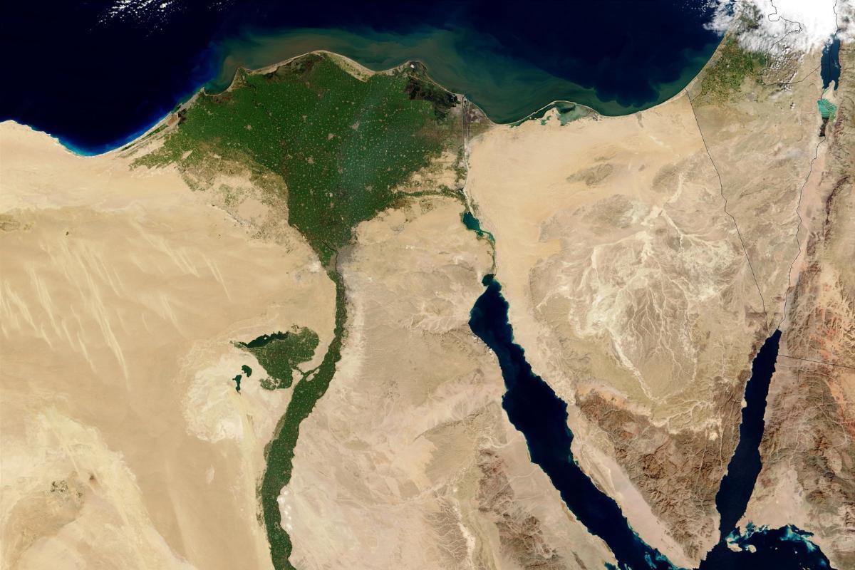
- Nile River Delta: the Nile River delta is located in lower Egypt and flows into the Mediterranean Sea. It is considered one of the largest river deltas in the world, as it covers about 160 km in length. Approximately 40 million people live there, with Alexandria being the largest city in this delta landform.
- Mississippi River Delta: it is a fan-shaped geographical feature, located in the state of Louisiana in the United States. It is formed by the deposition of detrital materials transported by the Mississippi River. It comprises 12,000 km² of coastal wetlands, making it a region of biological importance. Likewise, it forms a region of great commercial importance.
Now that you know what a delta is, you may want to know how it compares to other landforms created by water. You can do this with our article on the difference between a river delta and an estuary.
If you want to read similar articles to What Is a River Delta and How Is It Formed?, we recommend you visit our Ecosystems category.
- Lewis, J. P. (1995). "The biosphere and its ecosystems. An introduction to ecology."

