What Is an Endorheic Basin?


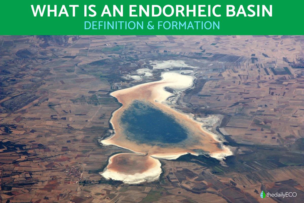
Examining the concept of an endorheic basin is important for understanding how water is distributed and used in different regions of the world. This is very important for geographical and hydrological studies. An endorheic basin is defined as a region in which rainwater and river water have no outlet to the sea or ocean, but instead accumulate in lakes, lagoons or the soil. In doing so, they generate bodies of water that often have saline characteristics due to evaporation.
At thedailyECO, we ask what is an endorheic basin? We look at the formation of endorheic basis, how they evolve over time and examples of endorheic basins in geography.
What is an endorheic basin?
An endorheic basin is a geographic region where the rainwater and rivers that flow into it are contained within. instead of reaching the sea or rivers, this water accumulates to such an extent that different bodies of water form. These bodies of water are mostly in the form of lakes or lagoons. They can sometimes infiltrate the soil to a certain extent, resulting in brackish lakes or marshy areas.
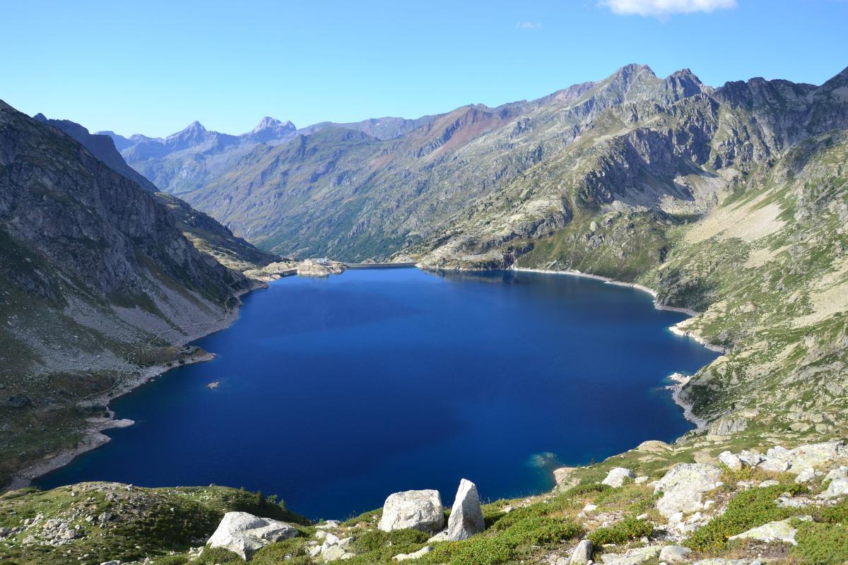
The reason why endorheic basins do not allow water to escape is because the land in the basin is surrounded by mountains, hills or reliefs that prevent the water from moving towards rivers that flow into the ocean. These types of basins are mostly found in arid or semi-arid regions, where evaporation is high and rainfall is scarce. Eventually, this can lead to the formation of salt flats or salt water lakes.

How do endorheic basins form?
Endorheic basins are formed over millions of years due to the interaction of several geological and climatic factors. The formation of these basins generally involves tectonic processes, erosion and sedimentation. They usually arise in areas where tectonic activity has generated depressions or sinkholes in the Earth's crust. Such areas include closed valleys or basins surrounded by mountains. These formations prevent water from draining into the sea.
As rain and rivers erode mountains and carry sediment into the basin, these materials accumulate at the bottom. Doing so creates layers of sediment that can form mineral-rich soils. Over time, the basin can deepen or expand, depending on the erosion and sedimentary processes which occur.
In arid or semi-arid regions, the lack of access to the sea combines with a dry climate to allow evaporation to exceed precipitation. This contributes to the concentration of salts and minerals in the bodies of water that form within the basin such as lakes and lagoons. Learn about the difference between a lake and a lagoon in our related guide.
For endorheic basin formation to occur, this process needs to evolve over time:
- Sediment accumulation: as time passes, the continued arrival of sediment can cause the basin to partially fill, altering its shape and volume.
- Salinization: in many cases, water bodies in endorheic basins become increasingly salty due to constant evaporation, which increases the concentration of salts.
- Climate changes: the evolution of an endorheic basin is also influenced by long-term climate changes.
- Human activity: while endorheic basis have formed before humans came along, human intervention can significantly alter the natural evolution of endorheic basin formation. Such processes include dam construction, water extraction or agricultural activity.

Examples of endorheic basins
Endorheic basins in Asia
Asia is home to several notable endorheic basins, some of which are among the largest and most important in the world. Due to the presence of water and mineral-rich soils, endorheic basins are often home to a great range of biology and geographical features. Endorheic basins in Asia include:
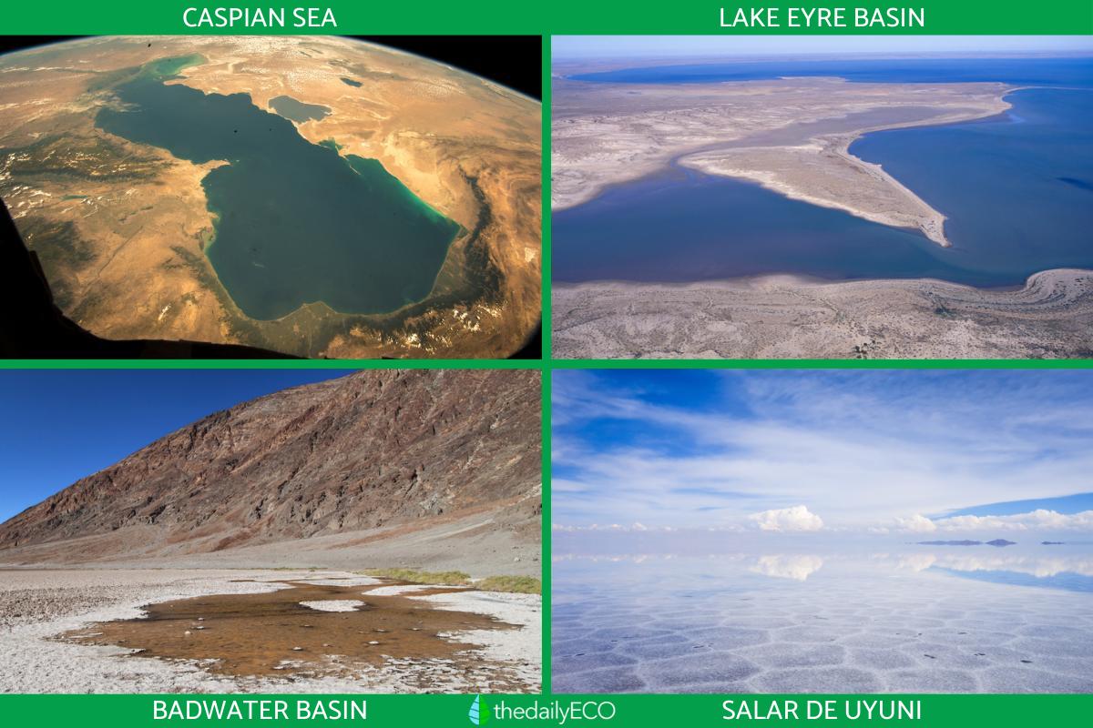
- Caspian Sea: located between Eastern Europe and Western Asia, bordered by Russia, Kazakhstan, Turkmenistan, Iran and Azerbaijan. Despite its name, it is considered the largest lake in the world.
- Aral Lake: between Kazakhstan and Uzbekistan, in Central Asia.
- Tarim Basin: in the Xinjiang autonomous region, in northwest China.
- Lake Balkhash: in southeastern Kazakhstan.
- Dead Sea basin: between Israel, Jordan and Palestine. It is the lowest point on the Earth's surface. Its waters are extremely saline, approximately 10 times saltier than those of the ocean.
Endorheic basins in Oceania
Although the continent is known for its diverse and varied climate, Oceania is also home to some interesting endorheic basins. These are located mainly in Australia:
- Lake Eyre basin: Located in central Australia, in the state of South Australia, it is the largest endorheic basin in Australia and one of the largest in the world.
- Lake Torrens: Also in South Australia, northwest of Lake Eyre.
Endorheic basins in America
There are several endorheic basins distributed in different regions of the American continent, from North America to South America:
North America:
- Great Salt Lake: in the state of Utah, United States.
- Badwater Basin: located in Death Valley in the state of California, United States.
- Lake Chapala: in the states of Jalisco and Michoacán, Mexico.
South America:
- Salar de Uyuni: salt flat in southwestern Bolivia.
- Altiplano Basin: in the Altiplano plateau region, between Bolivia and Peru.
Antarctic endorheic basin
Despite being an extremely cold and ice-covered continent, Antarctica also has endorheic basins. These basins are unique due to the extreme conditions of the continent and mostly consist of subglacial lakes or lakes in dry valleys that do not drain into the ocean:
- Lake Vostok: contains two basis located beneath the East Antarctic Ice Sheet, near Vostok Station.
- McMurdo Dry Valleys: located near the Ross Sea coast.
Endorheic basins in Africa
Africa has several endorheic basins, many of which are located in arid and semi-arid regions:
- Chad Basin: in the Sahel region, northeast of Nigeria, Chad, Cameroon and Niger. The largest endorheic basin in Africa.
- Chott el Djerid: salt flats in southern Tunisia.
Endorheic basins in Europe
Europe, although a continent best known for its rivers and seas, also has some interesting endorheic basins:
- Lake Neusiedl: located on the border between Austria and Hungary.
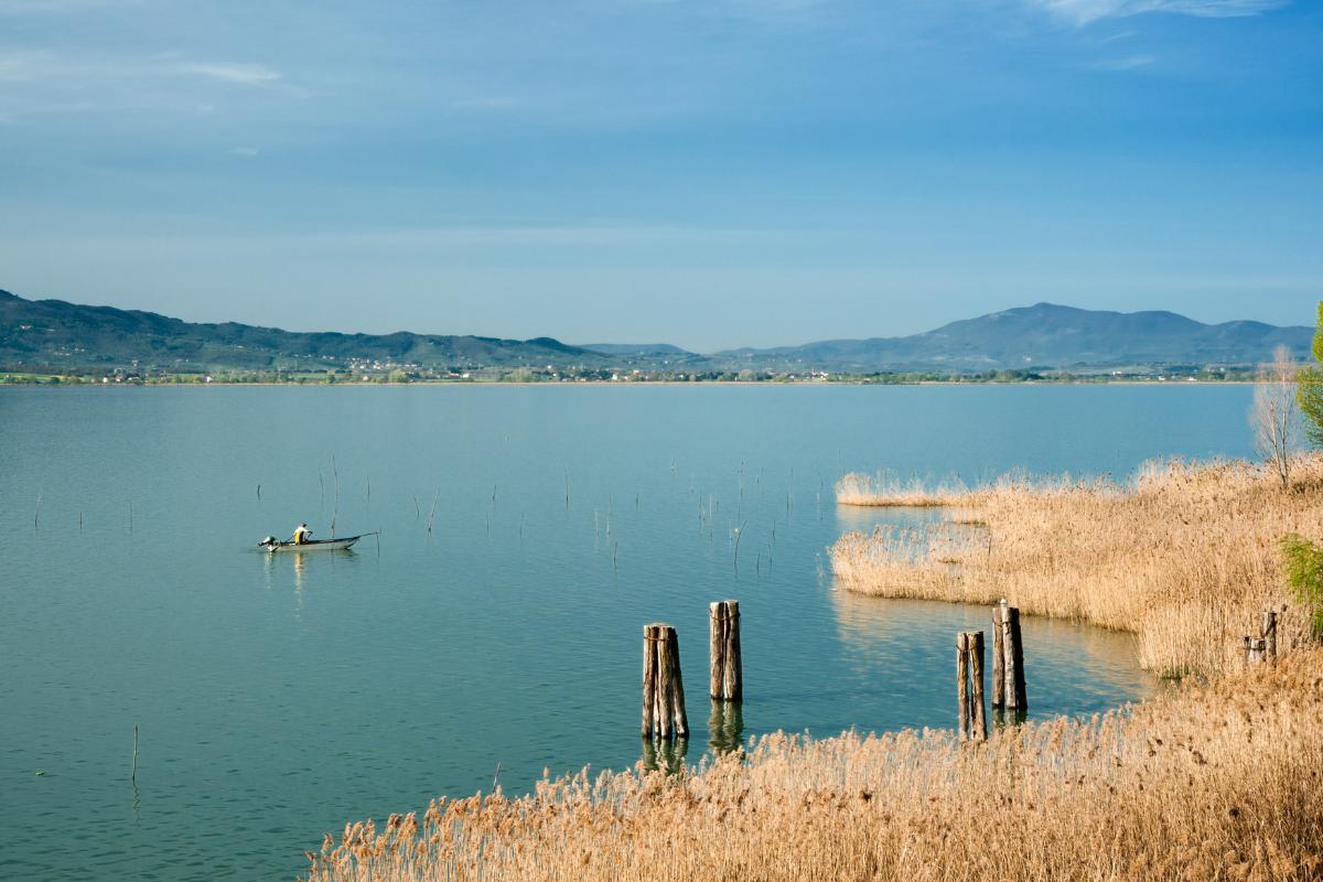
- Lake Trasimeno: located in the Umbria region of Italy.
Discover more about basins with our article on the difference between a lake and a reservoir.

Difference between endorheic and exorheic basins
The main difference between an endorheic basin and an exorheic basin lies in the way surface waters drain and their final destination :
- Endorheic basin: water in an endorheic basin is retained within the basin and usually ends up evaporating or infiltrating. This often results in water bodies with high salinity, such as saline lakes or salt flats. Endorheic basins are typically found in arid or semi-arid regions, where evaporation exceeds precipitation, contributing to the accumulation of salts and minerals in the water bodies.
- Exoreic basin: an open drainage system where water flows to an ocean, sea or large lake that has an outlet to the sea. For this reason, they are commonly known as open lakes. Some well-known examples of exorheic basins are the Amazon Basin (flows into the Atlantic Ocean), the Nile Basin (flows into the Mediterranean Sea), and the Rhine Basin (flows into the North Sea).
Now that you know what an endorheic basin is and its formation and types, you may want to learn more about the longest rivers in the world.
If you want to read similar articles to What Is an Endorheic Basin?, we recommend you visit our Environment (other) category.
- LitioArgentina. Endorheic basins: what they are and why they are important in the lithium industry.
https://litioargentina.com/produccion/cuencas-endorreicas-que-son-y-por-que-son-importantes-en-la-industria-del-litio/ - Mia Miñan. Definition of endorheic, exorheic and arreic basin: Examples, Authors and Concept. Green Examples.
https://ejemplosverdes.com/definicion-de-cuenca-endorreica-exorreica-arreica-ejemplos-autores-concepto/


