What Is the Siberian High Pressure System?


Sometimes known as the beast from the east, the Siberian high or Siberian anticyclone is a weather system characterized by very cold air that collects in northeast Eurasia. Formed by high-pressure systems, the Siberian high provides very cold winters which move from their point of origin across various parts of the Northern Hemisphere. This situation causes abnormally low temperatures, heavy snowfall and bad weather. It can also have other effects on various ecosystems and is considered even colder than Arctic air. thedailyECO learns more about its formation and effects as we ask what is the Siberian high pressure system?
What is the Siberian high?
The Siberian high is a meteorological phenomenon characterized by a wave of extremely cold air coming from northeast Eurasia, one of the coldest regions on the planet. While its total size covers a large area, it is centered in Lake Baikal of southern Siberia. This phenomenon occurs mainly during winter and affects much of Europe, especially the eastern part. It can have effects on weather systems in other parts of the Northern Hemisphere.
Cold air originates in Siberia, where temperatures can drop to extreme levels due to a combination of factors. High atmospheric pressure is the most important, but low incidence of sunlight and the presence of vast snow-covered plains are also influential in its formation. This icy air moves westwards when winds blow from Russia and other regions of Eastern Europe, bringing with it freezing temperatures.
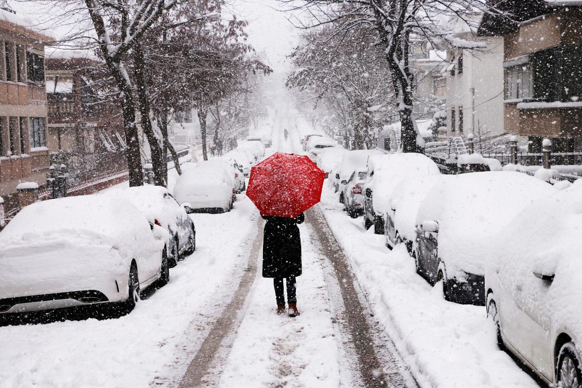
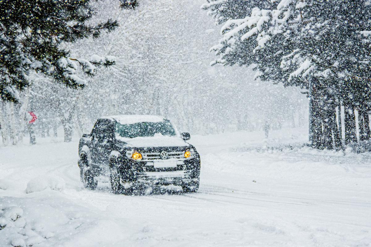
The term beast from the east has gained popularity in recent years to describe the severity of this phenomenon. This is because the effects of Siberian high can be severe, including heavy snowfall, intense frost and a marked drop in temperatures in areas not accustomed to such extreme conditions. This can cause transport disruptions, damage to infrastructure and health risks, especially among the most vulnerable of society.
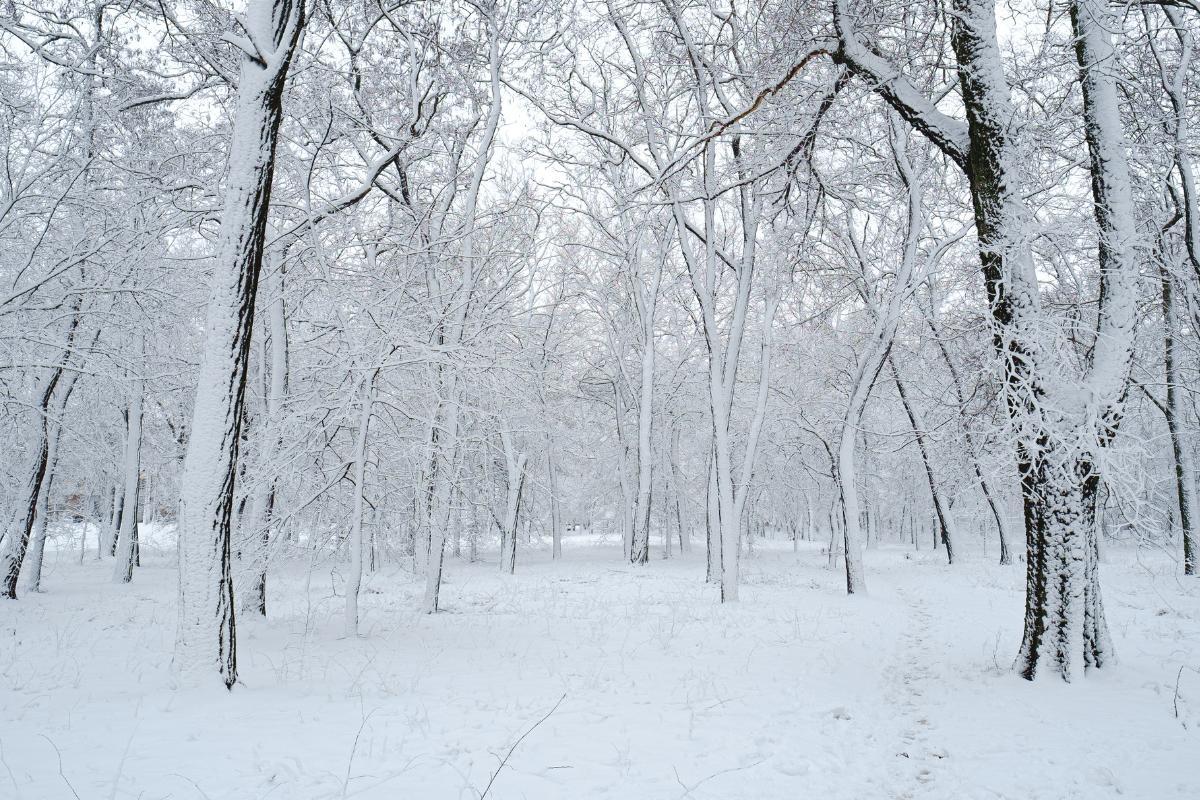
While the Siberian high can create stunning winter landscapes, it also puts communities and emergency systems to the test. So when this phenomenon is forecast, it is important to take precautions and be prepared to deal with its often hazardous effects.
We share how to measure atmospheric pressure to understand how we can prepare for these cold weather systems.

How cold is the Siberian high?
Temperatures associated with Siberian high are often extremely low, especially near their source in Eurasia. In this region, thermometers can provide readings below -50ºC (-58ºF) during the coldest winter months. As they move towards Europe, these cold air masses moderate their intensity slightly, although they can still cause extreme temperatures compared to the usual averages for each region.
- Eastern Europe: countries such as Russia, Ukraine and Poland can experience temperatures ranging from -10ºC (14ºF) to -25ºC (-25ºF) during a Siberian anticyclone.
- Central Europe: as the icy air moves towards the centre and west of the continent, it reaches countries such as Germany, France, the United Kingdom and Spain where temperatures are usually milder. In these areas, the Siberian high can cause abrupt drops to values close to or even below -10ºC (14ºF), which is unusual and can have serious impacts on daily life.
- Southern Europe: including Italy, Greece and northern Spain, this phenomenon can bring sub-zero temperatures to regions where frost is rare. Even in coastal or Mediterranean areas, where the climate is typically mild, minimum temperatures close to 0ºC (31ºF) or lower can be recorded, accompanied by strong winds that accentuate the sensation of cold temperatures.
We share more about cold regions in the world with our article explaining what is permafrost?
How is the Siberian high formed?
We already know where the Siberian high begins, but we have not yet explained how a high-pressure weather system like the Siberian anticyclone is formed:
- Anticyclone develops: the key to this phenomenon is the development of an anticyclone, a high atmospheric pressure system. With the Siberian high, the pressure system sits over Siberia during the coldest months. This anticyclone is the result of extreme heat loss at the Earth's surface. In winter, the snow covering Siberia acts as a reflector, returning most of the solar radiation back into space and causing a steady cooling of the earth. This cooling creates a mass of very dense and cold air that is trapped beneath the anticyclone.
- Wind patterns emerge: once this cold air mass is established, wind patterns are responsible for distributing the cold towards Europe. Winds from the east or northeast are driven by the Siberian anticyclone, dragging this mass of freezing air towards the west. These winds are reinforced by low pressures in Western Europe, which attract the cold air as a continuous current.
- Atmospheric blocking occurs: another important element in the formation of the Siberian high is atmospheric blocking. This happens when a high pressure system in the North Atlantic (known as the Greenland Anticyclone) blocks warm air currents coming from the west. When this warm air is stopped, cold air masses coming from Siberia have a free path to advance towards Europe without being displaced.
- Further cooling: on its way to Europe, Siberian air is further cooled by passing through snow-covered regions, such as the plains of Eastern Europe. Snow helps keep temperatures down because it reflects sunlight and prevents the ground from warming up, amplifying the cold in the process.
Learn about how mountains affect weather patterns with their cooling in our article asking what is the foehn effect?

Effects of the Siberian high
The impact of the Siberian high goes far beyond a simple drop in temperatures. When temperatures drop drastically, it changes the ecosystem and causes disruptions to everyday life. Extreme cold combined with heavy snowfall can cause:
- Road and public transport closures
- Suspension of school and work activities
- Freezing pipes
- Electrical problems
- Wear and tear on buildings and roads
- Hypothermia and frostbite
- Worsening of respiratory diseases
- Cold snap in vulnerable communities
It can also cause disruptions to nature, agriculture and the economy. These effects of the Siberian high include:
- Crop damage: severe frosts can destroy cold-sensitive crops such as fruits, vegetables and cereals, resulting in economic losses for farmers and increasing food prices. Learn more with our guide to the cold wave weather phenomenon.
- Impact on wildlife: wild animals face difficulties in finding food and shelter in extreme conditions. Many species may suffer increased mortality during these periods of intense cold because they are unprepared for the sudden drop in temperature. It can also affect hibernation patterns.
- Rising energy costs: electricity and heating bills are skyrocketing due to increased demand, posing a challenge for many families and businesses. Learn which appliances consume the most power with our related guide.
- Losses in key sectors: industries such as construction, transportation and agriculture are often hardest hit by disruptions and damage caused by extreme cold.
The Siberian high often has these negative effects because the areas affected are not used to such low temperatures. Discover the communities best able to handle these freezing conditions with our article on the most extreme cold places in the world.
If you want to read similar articles to What Is the Siberian High Pressure System?, we recommend you visit our Meteorological phenomena category.


